Poland faces a sudden cold surge, possible frosty snow, and a temporary dip below average temperatures from mid‑October, with forecasts showing a gradual return to warmth by late month.
Meandering Jet Stream Across the Northern Hemisphere
The jet stream, a fast‑moving air current above 5 km, acts as a barrier between Arctic cold and warmer southern air. Recent strong oscillations are now affecting Polish weather.
Until October 12, the stream’s main branch flows north of Poland; from October 13 it shifts into the country, forming a cold trough that will linger over central‑eastern Europe and keep colder air masses stacked there for days.
Cold Trough and Low Pressure over Central Europe
Rather than a gradual warming, Poland will enter a low‑pressure phase with cloudiness and humidity. As the jet stream moves southward, its arm pulls Arctic air that intermixes with polar and subtropical masses, setting up sharp weather contrasts.
According to TVN Meteo, strong cooling could commence around October 18, as the low remains trapped over central‑eastern Europe, dragging cold air from the north.
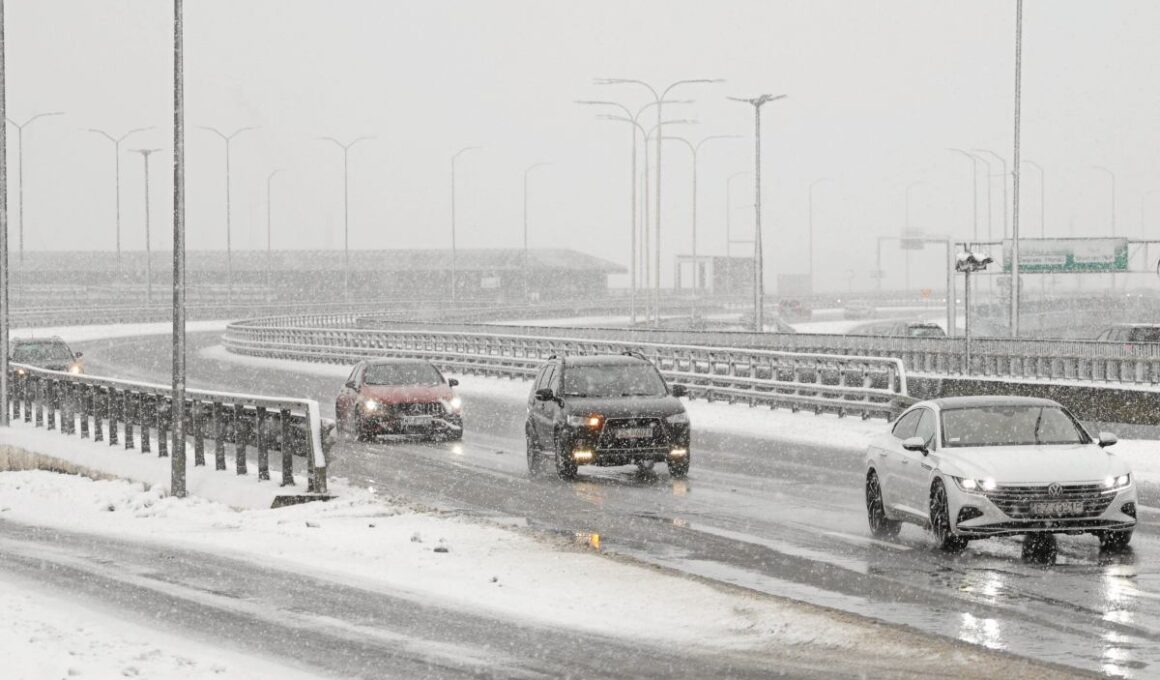
Will It Snow?
GFS and ECMWF models predict the first brief rain‑snow mix in the second half of October, chiefly in northeast Poland—from Podlaskie to the Masurian Lakes—and spotty falls in Masovia and Kuyavia. The snow will be symbolic and unlikely to form a lasting blanket.
Blowing snow is also a possibility, especially between October 18 and 22, when warm Mediterranean air meets cold air from the north.
Temperature Drops Below Normal
After the weekend of October 12–13, temperatures across Poland will fall from the present 12–17 °C down to below 10 °C, with nighttime lows falling to just above freezing in some areas.
European Centre for Medium‑Range Forecasts estimates a deviation of up to 10 °C below long‑term averages, peaking around October 18–19. While Poland chills, western Europe may still enjoy temperatures above 20 °C.
High‑Pressure Blockage and Prolonged Chilling
The cold trough could persist for up to ten days, sustained by a high‑pressure blockage that halts the flow of warm air from the west.
The meandering jet stream channels air from the Atlantic eastward, across the Arctic, and then funnels cooled air into Central‑Eastern Europe, extending the chill.
Warmth Expected by Month’s End
From October 23 onward, the situation is set to improve. The ECMWF projects temperatures to return to normal around October 24–25, with early November gains of about 1 °C above averages.
This allows warmer air from the south and west to resume its influence, though Poland will remain on the cooler side for the rest of the month.