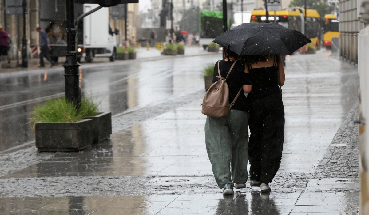
Poland’s Institute of Meteorology and Water Management (IMGW) warns of snow in the south and rain/thunderstorms elsewhere this Friday.
Weather Pattern Overview
A ridge associated with the Azores High is influencing the weather from the Bay of Biscay to the Baltic states, while low-pressure systems dominate the rest of the continent.
Northern, western, and parts of central Poland are under the influence of the Azores High ridge, while the remaining areas are within a low-pressure trough linked to a low over the Balkan Peninsula.
Temperature and Pressure
Southeastern areas will initially be affected by a warm atmospheric front, followed by the influx of polar sea air. Temperatures will be cooler across most of the country, slightly warmer in the southeast. Pressure in Warsaw at noon is 1002 hPa and is expected to rise.
Snow and Rain Forecast
The most challenging conditions, due to snow and sleet, are expected in southern Poland on Friday. Moderate snowfall (10-20 mm) is anticipated in parts of Silesia and Lesser Poland.
The IMGW forecasts a snow accumulation of 10-20 cm in the higher parts of the Beskids and Tatra Mountains. Maximum temperatures will range from around 6°C by the sea and in some southern areas, to 10°C in the center, and 15°C in the southeast. Submontane regions will see temperatures around 4-5°C.
Wind Conditions
Winds will be weak to moderate, becoming gusty in the southern half of the country, with potential gusts up to 55 km/h from northerly directions (westerly near the coast). Higher elevations in the Sudetes and Carpathians may experience gusts up to 65 km/h, causing blizzards. Roads and sidewalks in submontane areas may be slippery in the morning.
Nighttime Forecast
Overnight, most of the country will be clear or partly cloudy. Southern areas will have extensive cloud cover with some clearings, and localized rain, or rain mixed with snow in submontane regions. Snowfall is expected in the mountains. Rainfall in Silesia and Lesser Poland could reach 12 mm, with snow accumulation of 7-12 cm in the Żywiec Beskids and Tatra Mountains.
Fog and Minimum Temperatures
Fog patches limiting visibility to 300m, with localized rime ice, are expected in the north and west. Minimum temperatures will range from -4°C in the north, around 0°C in the center, to 4°C in the southeastern regions.
Saturday’s Outlook
The IMGW forecasts significant cloud cover with rain in the south on Saturday, while the rest of the country will be sunny and dry. Above 700m in the Carpathian submontane regions, rain mixed with snow and snow are expected. Snowfall will occur in the Carpathians, with rain mixed with snow in the afternoon. Local thunderstorms are possible in Podkarpackie.
Maximum temperatures will range from around 7°C by the sea and in some Carpathian submontane areas, to 11°C in the center, and 17°C in the southeast. Winds will be weak, occasionally moderate in the south, and gusty in Podkarpackie, from northerly directions (southwesterly in the northwest). Gusts in the Carpathians and during thunderstorms could reach 55 km/h, causing blizzards. Roads and sidewalks in the Carpathian submontane regions may be slippery in the morning.