


Polish meteorologists warn that a sharp cold wave, bringing temperatures as low as ‑6 °C and local snowfall, will hit the country from Friday through early next week.
Cold Advance
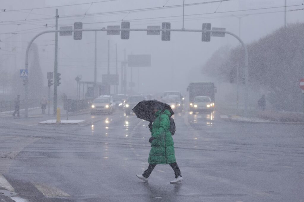
From Friday, Poland has been receiving markedly cooler air. During the weekend, widespread cloud cover and rain are expected, with rain mingled with snow in the northeast. Morning temperatures in the east will read 2–4 °C, central Poland 5–7 °C, and 10–12 °C in the south, according to Agnieszka Prasek, spokesperson for the Institute of Meteorology and Water Management (IMGW). Experts note that the greatest temperature drop will occur at the start of next week, with daytime readings only 2–5 °C and no overnight frost or freezing, though temperatures could fall to ‑6 °C and lower in the mountains.
Possible Snowfall
IMGW spokesman anticipates local snow from Thursday, November 17. Snow is expected on Monday in the southeast, foothill areas, and mountains; similarly on Tuesday. By Wednesday, snowfall and rain‑snow mix will reach the north, with further snow coverage on other regions.
IMGW Alerts
Because of the coming chill, IMGW issued first‑level warnings for freezing precipitation. Alerts ran from 7:30 a.m. Sunday to 7:30 a.m. Monday in the Podlaskie, Mazowieckie (north counties), and Warmian‑Masurian (except northern part). From 7:30 a.m. Monday to 7:30 a.m. Tuesday, alerts covered Opole (south counties), Silesian (south part), Lesser Poland (south part), and Subcarpathian (south counties). Warnings also warned of a rapid rise in water levels in Szczecin Lagoon, while hydrological drought remains in the Vistula basin in Greater Poland and Kuyavia‑Pomerania, and in the Bug basin from Uherka to Krzyżewo in Lublin.