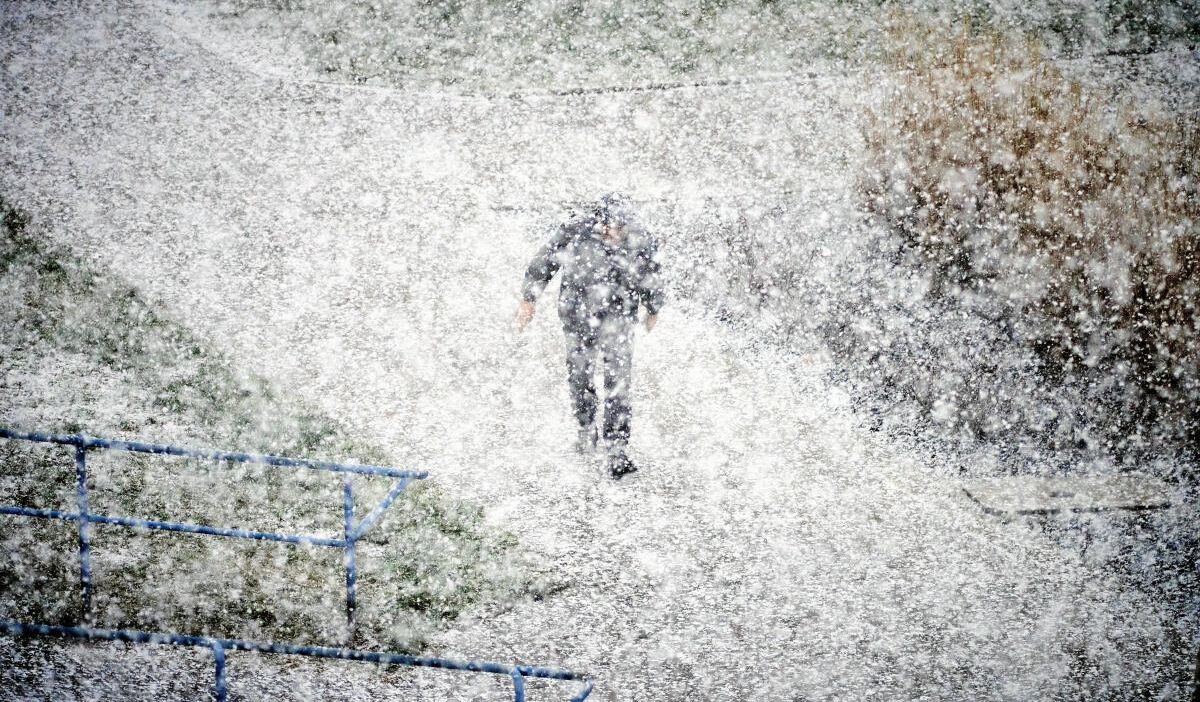
Meteorologists warn of an approaching winter storm that could drop up to 30‑50 centimeters of snow over the Carpathians and southeastern Poland, starting this Friday.
Snow showers approach Poland
While winter extends into Europe, a collision between cold Arctic air and warm Mediterranean moist masses will create a large atmospheric front that could affect primarily the Carpathians and southeastern Poland.
Where will the heaviest snowfall fall?
GFS and ECMWF models forecast the peak of precipitation from Friday, 21 November through Saturday morning, with 10 to 20 centimeters of snow likely in Małopolska and Podkarpacie, and up to 30–50 centimeters in the mountainous districts.
Road complications
Heavy snow within 12 hours could severely hinder transport, as wet, heavy snow may freeze trees and power lines, causing outages and potentially requiring large‑area de‑icing.
Rest of the week’s forecast
From Wednesday, 19 November, clear skies are expected over the south while the north faces rain and rain‑shower mixes. Thursday and Friday will be mainly cloudy with precipitation, particularly in the north and west; the weekend will bring snow showers to the south and center, with a short‑lived warm spell on Sunday reaching up to 13 °C in the southeast.