


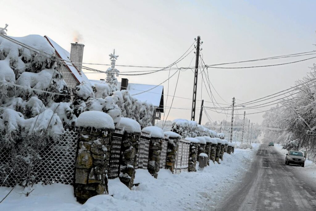
IMGW warns of icy conditions in southern Poland as rain freezes, creating dangerous black ice.
Where Are the Warnings in Effect?
Alerts for icing cover voivodeships: Subcarpathian, Lesser Poland, Świętokrzyskie, Silesian, Opole, and Lower Silesian. Warnings also apply to southern parts of Lubusz, Greater Poland, and Łódź voivodeships. IMGW forecasts that after rain, rain-snow mix, and wet snow, falling temperatures will cause road and sidewalk surfaces to freeze.
In many areas, so-called “black ice” may appear, which is practically invisible to the naked eye.
How Long Will the Icing Last?
On most areas under alert, warnings will remain in effect until Sunday evening, February 8, until 18:00. Forecasters emphasize that during this time, both drivers and pedestrians must exercise particular caution. Slippery surfaces can significantly hinder traffic and increase the risk of collisions and accidents.
Conditions may also be hazardous on sidewalks, especially in the morning and evening hours.
Cold Start to the Week
The night from Sunday to Monday will bring heavy cloud cover, though clear spells are possible in the north and northeast. The lowest temperatures will occur in northeastern Poland, locally reaching -15°C. Central Poland will see around -8°C, while the southwest will be around -1°C.
Forecasters predict a cold start to the week, particularly in the eastern and northeastern parts of the country.
Warmer Second Half of the Week
Starting Wednesday, February 11, warmer air will flow into Poland from the west. Snowfall will gradually transition to rain, and in the southwestern part of the country, temperatures could rise to 10°C on Thursday and Friday. IMGW notes, however, that nights, especially in the northeast, may still see temperatures below zero.
The following weekend is forecast to include another rain-snow mix and local icing.