


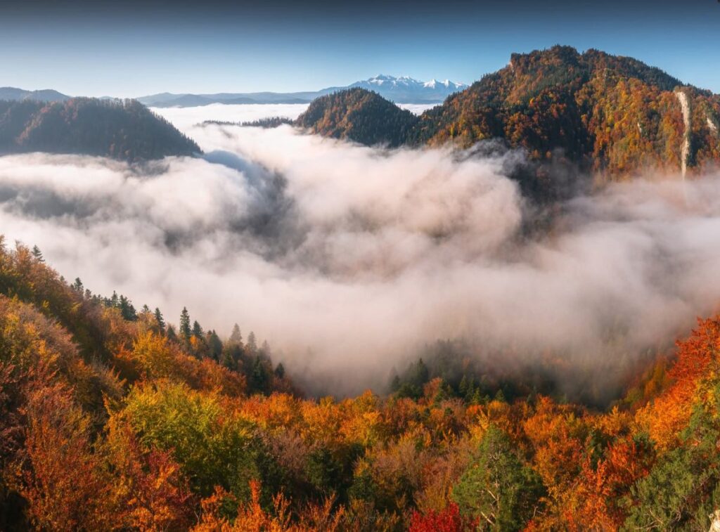
In the Polish mountains last month, a rare “sea of mist” covered valleys for weeks, formed by high humidity and calm winds in an upper‑level high‑pressure system.
Defining the “Sea of Mist”
Windless clouds or mist can appear as a low‑lying “sea” just below the terrain, often called a fog sea or cloud sea. It usually forms at low elevations, especially in steep valleys where air is trapped.
The Role of a Calm Upper‑Level High
When a stationary high‑pressure system lingers over Poland, it can evolve into a “stale high” that generates a lower‑level inversion. This inverted layer locks the air near the ground, suppressing wind and convection.
Moisture Condensation and Extended Fog
Ground‑level vapor condenses into microscopic droplets, creating fog. The stable atmosphere keeps this fog intact for weeks, as happened repeatedly across Polish valleys.
Polish Experience Last Month
Last month, the fog sea persisted for a full month in mountain valleys. While sunshine beat down above 500 m, the low‑altitude mist spread spectacularly beneath. Photographs by Bartosz Drobisz and Kamil Fober captured the event.