


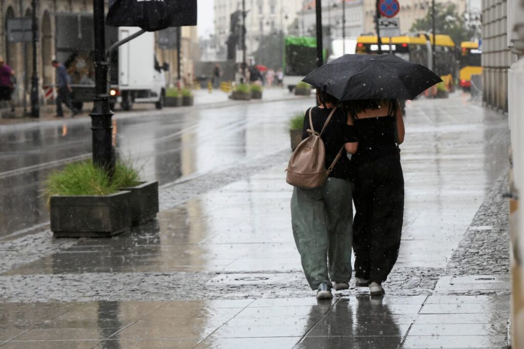
Poland’s meteorological institute forecasts rain and thunderstorms across much of the country, with snow expected in the mountains starting Friday.
Weather Pattern Overview
A ridge associated with the Azores High is influencing the weather from the Bay of Biscay to the Baltic states, while low-pressure systems dominate the rest of the continent. Northern, western, and parts of central Poland are under the influence of the Azores High ridge, while the remaining areas will be affected by a low-pressure trough linked to a low over the Balkan Peninsula.
Initially, the southeastern fringes of the country will be within the influence of a warm atmospheric front. Polar sea air will begin to flow in, bringing cooler conditions across most of the country, with slightly warmer temperatures in the far southeast. Atmospheric pressure in Warsaw at noon will be 1002 hPa, with a predicted increase.
Friday’s Forecast
On Friday (March 27th), expect partly cloudy skies in the north, west, and center, with extensive cloud cover and occasional showers in the south and southeast. Rain is expected in the foothills of the Tatra and Sudetes mountains, transitioning to snow at higher elevations.
Moderate rainfall is anticipated in southern Silesia and Lesser Poland, with accumulations of 10-20 mm. The Institute of Meteorology and Water Management (IMGW) forecasts a 10-20 cm increase in snow cover in the high peaks of the Beskids and Tatras. Maximum temperatures will range from around 6°C on the coast and in some inland areas to 10°C in the center and 15°C in the southeast; temperatures in the foothills will be around 4-5°C.
Wind and Road Conditions
Winds will be light to moderate, occasionally gusty in the southern half of the country, potentially reaching 55 km/h from northerly directions, except for westerly winds along the coast. Higher elevations in the Sudetes and Carpathians may experience gusts up to 65 km/h, causing blizzards. Roads and sidewalks in the foothills may be slippery in the morning.
Saturday’s Outlook
On Saturday (March 28th), the IMGW forecasts extensive cloud cover with rain in the south, while the rest of the country will be sunny and dry. In the morning, rain and snow are expected above 700 meters in the Carpathian foothills. Snowfall will occur in the Carpathians, with a mix of rain and snow in the afternoon. Local thunderstorms are possible in the Podkarpackie region.
Maximum temperatures will range from around 7°C on the coast and in the Carpathian foothills, 11°C in the center, to 17°C in the southeast. Winds will be light, occasionally moderate in the south, and gusty in Podkarpackie, from northerly directions, except for southwesterly winds in the northwest. Gusts in the Carpathians and during thunderstorms may reach 55 km/h, potentially causing blizzards. Roads and sidewalks in the Carpathian foothills may be slippery in the morning.
Nighttime Conditions
Overnight, most of the country will be clear or partly cloudy. The south will experience extensive cloud cover with occasional clearings and possible rain, with a mix of rain and snow in the foothills. Snowfall is expected at higher elevations. Rainfall in southern Silesia and Lesser Poland may reach 12 mm. Snow cover in the Żywiec Beskids and Tatras is expected to increase by 7-12 cm.
Fog may form in the north and west, reducing visibility to 300 meters and potentially causing frost. Minimum temperatures will range from -4°C in the north to around 0°C in the center and 4°C in the far southeast.