


Warsaw is warned of a cold front bringing 70‑80 km/h gusts, possible thunderstorms, and local ice‑snow, with the danger expected to peak after 16:00 on Thursday, Oct 30.
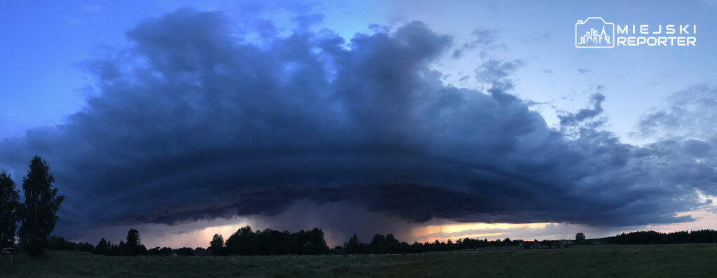
Cold Front Moves Toward Capital
A cold front is advancing across Poland from west to east, scheduled to reach Warsaw during the afternoon and evening of Thursday, Oct 30.
Forecasts indicate wind gusts up to 70‑80 km/h, with higher values near temporary thunderstorm cells.
Threat of Thunderstorms and Heavy Precipitation
Short‑lived thunderstorms, intense rain showers, and isolated ice‑snow are possible in the affected sectors.
Maximum gusts associated with storm tracks could last several hours before easing at night.
Official Warnings and Safety Advice
The Institute of Meteorology and Water Management issued a strong‑wind alert for Warsaw, citing gusts up to 75‑80 km/h and higher during storms.
Local authorities advise residents to stay indoors, avoid parking under trees, secure loose items, and exercise caution outdoors, especially after 15:30‑16:00.
Impact on Traffic and Power Supply
Strong gusts may temporarily disrupt road traffic and cause power interruptions if trees fall on power lines.
Sudden short‑term worsening of road conditions is also expected during the thunderstorm activity.