Poland faces dramatic weather shift as intense snowfall gives way to significant thaw by weekend.
Intense Snowfall and Freezing Temperatures
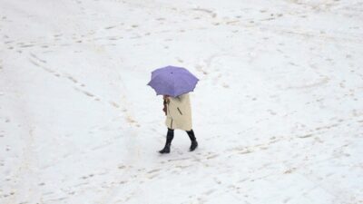
The coming hours and days will see a significant weather change. According to forecasts from IMGW and European models, an intense precipitation zone will begin affecting Poland from the south and east on Friday and Saturday, January 23 and 24. Snow will first appear in the Subcarpathian region, Lublin region, and Świętokrzyskie Voivodeship.
During the day, the front will move north, covering central Poland, including the Warsaw area. On Saturday, snowfall may affect a significant portion of Poland, particularly in the south, east, and central regions. This will be accompanied by severe frosts. In northern and eastern parts of the country, nighttime temperatures may drop to -14°C, and according to some models, locally even below -20°C. Meteorologists emphasize this is the effect of Arctic air inflow associated with the Russian high and polar vortex disturbances.
North Remains Cold, South Thaws
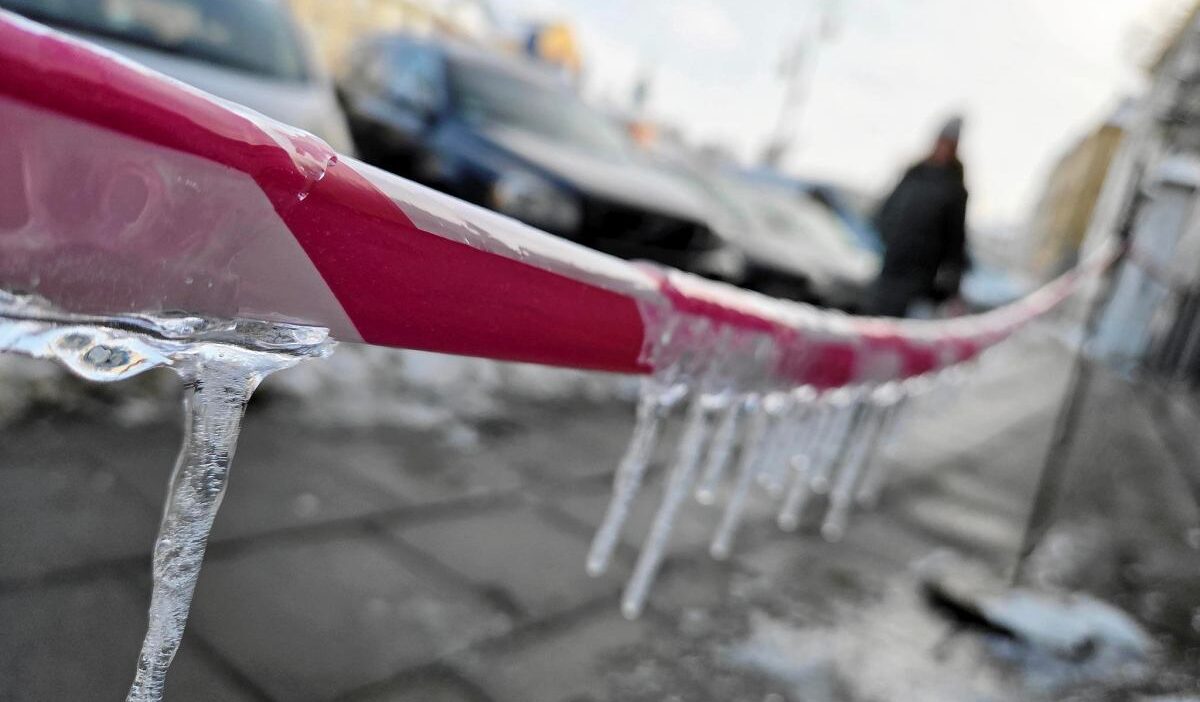
The transition will occur over the weekend. From Saturday, thaw will begin affecting southern regions of the country, and on Sunday, central areas as well. In Silesia and Podhale, temperatures will rise to 4-6°C, while the north and northeastern regions will remain under winter influence with below-zero temperatures.
With the warming, rain, rain with snow, and locally freezing rain may occur, which could cause black ice. The most difficult conditions are forecast for transitional areas.
Up to 10°C in January
Next week, the thaw is expected to fully develop and cover almost the entire country. In the north, temperatures will reach 1-2°C, in the center 2-5°C, and in the south even 7-8°C. Meteorologists do not rule out that locally, especially at the foot of the mountains, thermometers may show even 10°C. These will be the warmest days of January.
Importantly, in some regions, nighttime temperatures may also remain above zero.
Frost May Return in February
Although late January is expected to be significantly warmer, meteorologists are tempering excessive optimism. Long-term models indicate that in the first decade of February, a possible return of frost and snowfall on a larger area of the country.